Posts Tagged ‘travel’

Skyline Drive

©TimeLine Media - Appalachian Trail walk

Thankfully the recent partial shutdown of the federal government is over. There were so many affected by this both inside and outside Washington. When focusing on what services were affected most outside of the capital city, many media outlets pointed to National Parks. The rangers and other staff that supports the functions in these areas were forced to keep the gates closed. With everything reopened, there were lines of cars this weekend waiting to enter the parks again! We took advantage of the beautiful weather to see if any of the fall colors had started to come to the trees in the Appalachian Mountains of western Virginia.

Mountain Views

©TimeLine Media - Skyline Drive
©TimeLine Media – Skyline Drive

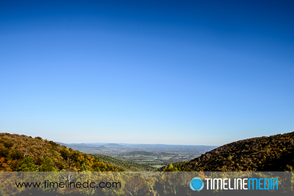
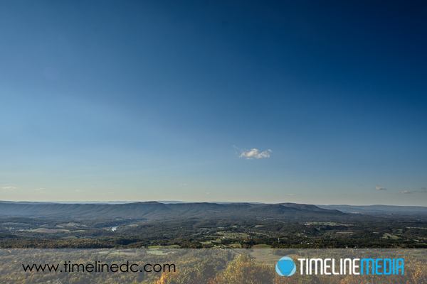
Starting from the gate in Front Royal, VA, we drove through the very northern part of Skyline Drive. The rangers at the station had a long line of cars to go through, but they were very happy to see all the visitors. Although we did not go more than 10 miles from this gate, there is plenty for you to see along the way. There are numerous overlooks into the valleys below with the meandering Shenandoah River carvings its way through the mountains. It’s highly reflective waters are easy to spot from high.

©TimeLine Media - Skyline Drive
©TimeLine Media – Skyline Drive

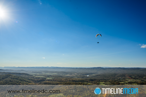
At one of the overlooks, there were para gliders that seem to hang over the road! They took a glide over the people stopping at overlooks, and waved to everyone as they slowly moved overhead. More than a few kids were asking mom and dad for a chance to join them.

©TimeLine Media - Skyline Drive
©TimeLine Media – Skyline Drive

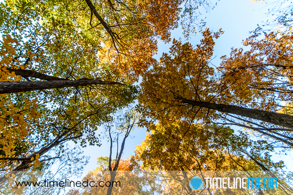
Although the fall colors were not at their peak, there were already many golden leaves on the trees. Some of the overhang in areas were bathing the forest floor in beautiful light. As the sun was setting, their colors were accentuated, and I wished that we could have stayed until sunset. Peak this season should be beautiful for anyone making the trek through the mountains this year.

TimeLine Media – www.timelinedc.com
703-864-8208

Jones Point Contest Answer

Glass covering the South DC Boundary stone

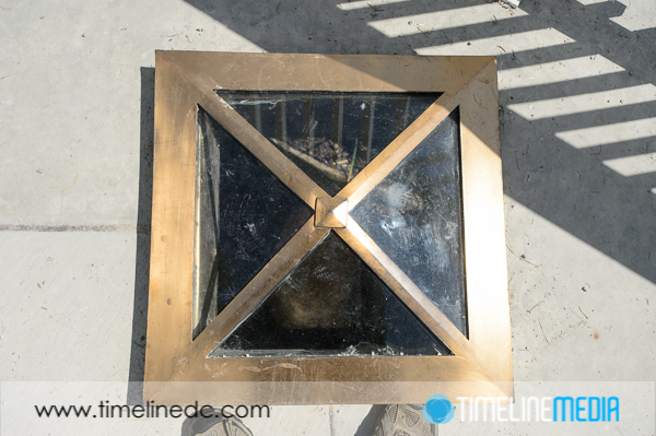
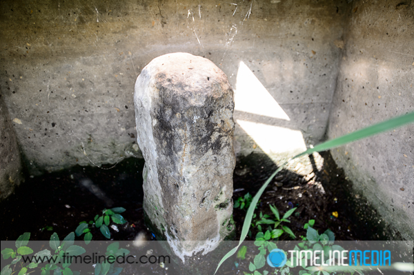
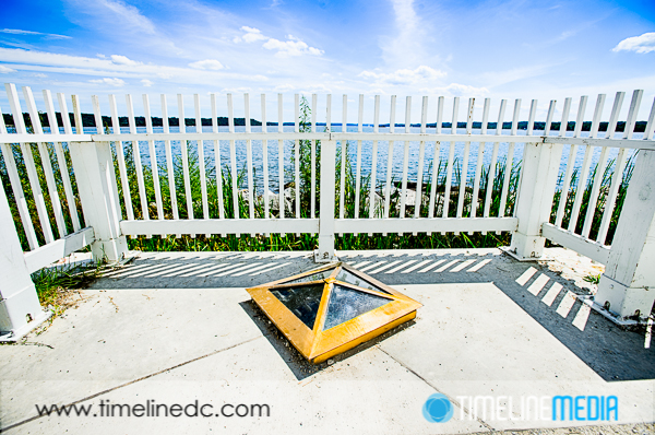
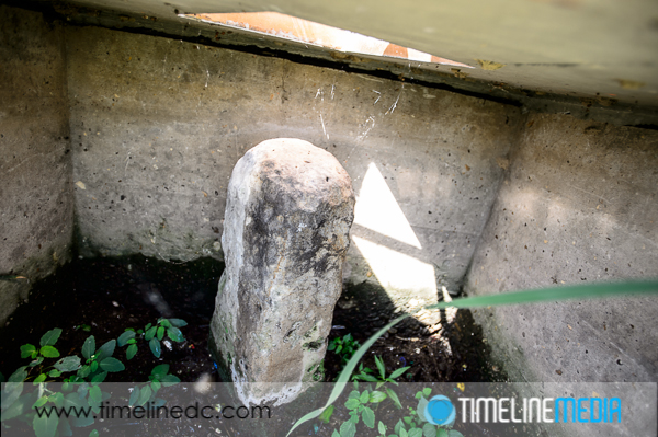
A few posts ago, I asked if anyone could tell how this photo was taken. It is the first boundary stone that was placed at Jones Point in Alexandria, VA. It marked the origin of the capital city of the United States, Washington, DC. For sure it is a challenge to get access to it. Being that it has been protected behind a seawall underneath the ground in front of the Jones Point Lighthouse.

Alexandria, Virginia

©TimeLine Media - DC South Boundary Stone
©TimeLine Media – DC South Boundary Stone

On the other side of the seawall is a very marshy area that leads to the Potomac River. I tried to walk the little ways to the window opening of the wall. Howver, the ground did not hold my weight very well. Perhaps the tide had just rolled out, and the timing was not right to walk. In any case, the overgrown brush was not trampled or stepped on. So, no one has ventured out to see the stone that way in some time.

Jones Point

©TimeLine Media - DC South Boundary Stone
©TimeLine Media – DC South Boundary Stone

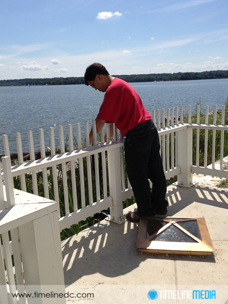
I was determined to get a photo of the stone, but the bright sun and the thick glass above the stone meant that shooting from directly above would not make it possible. Too many reflections from the glass made it impossible to see. So my wife had an idea – hang the camera from over the fence to take the photo. PERFECT!

Glass covering the South DC Boundary stone

Camera Technique

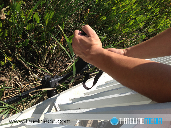
Thinking about how to go about this – a tripod or monopod mounted to the camera would give me a stable way to hold the camera, but I did not think it would be that flexible. So I just checked that the straps were extra tight on the camera before DANGLING IT OFF THE SIDE OF THE FENCE.

Dangling camera by strap over the fence

For the camera, I zoomed the wide lens all the way out to get as much of the space in the frame as I could. Then I connected the Nikon MC-30 Remote Trigger Release so that I could fire the shutter when the camera was in position, and stable since it did rotate back and forth on the trip down. From the photo, the frame would be made upside down in the camera, but that is of course, a very easy fix in software. Mission accomplished!

I would not normally recommend dangling a camera from a strap. Nor would I recommend taking photos without looking through the viewfinder or the Live View from the sensor, but sometimes extremes are necessary to get a unique image. I’m sure next time I visit, everything will be cleared away, and you can just walk up and stick your camera in the window! Let me know if you have any stories of ways you got your camera into hard to reach places.

©TimeLine Media - DC South Boundary stone - uncropped
©TimeLine Media – DC South Boundary stone – uncropped

TimeLine Media – www.timelinedc.com
703-864-8208
Theodore Roosevelt Island

©TimeLine Media - Theodore Roosevelt Island

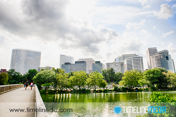
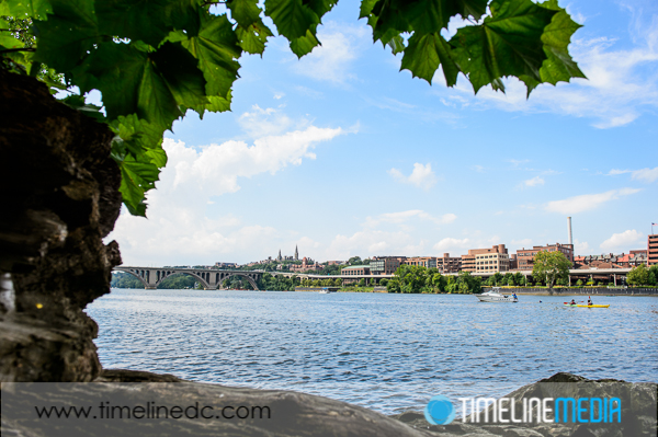
Theodore Roosevelt Island is a serene spot right in the middle of everything. Just a footbridge across from Arlington, Virginia, this island sits in the Potomac River making it a part of Washington, DC. From the island, you can get views over the river to the tall office buildings in Rosslyn, Virginia. As can be seen people are in these tall buildings have a great view of the capital city. Obviously, This area does not have the same height restrictions as DC!

Washington, DC

©TimeLine Media - Theodore Roosevelt Island
©TimeLine Media – Theodore Roosevelt Island

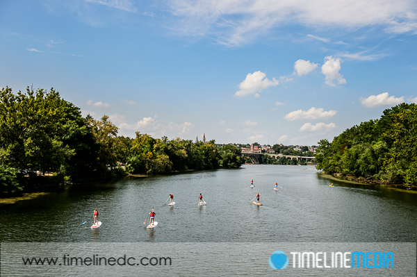
The parking lot is just off the George Washington Memorial Parkway, and the bike trail which follows it. In that case, it makes it a popular spot for visitors to rest and explore along the way. Many college students attending the nearby universities can be seen on the trails. Moreover, they are in the water enjoying paddle boarding, and boating in the busy waterways surrounding the island.

©TimeLine Media - Potomac River from Theodore Roosevelt Island
©TimeLine Media – Potomac River from Theodore Roosevelt Island

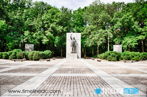
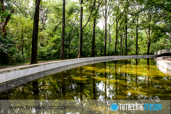
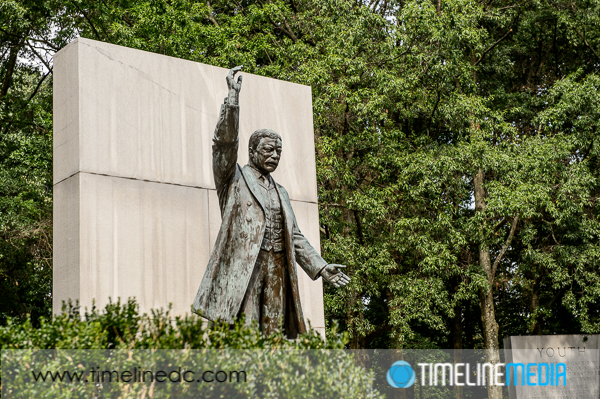
There were a few markers along the trails marking where a 19th century mansion once stood. Additionally, there are a few describing some of the history and nature that are present there. In the middle, is a memorial to the 26th President of the United States, Theodore Roosevelt. There are canals, two large fountains, and a 17-foot statue of the president at the center. Along the edges are monolithic cement blocks with some of his more famous and profound quotes inscribed.

Urban Park

©TimeLine Media - Theodore Roosevelt Island
Theodore Roosevelt Island ©TimeLine Media
©TimeLine Media - Theodore Roosevelt Island
Fountain at Theodore Roosevelt Island ©TimeLine Media
©TimeLine Media - Theodore Roosevelt Island
Statue at Theodore Roosevelt Island ©TimeLine Media

It is a nice place to rest as you traverse the island trails. The lower trails will follow the river into a marshy, swampy area. Other trails will take you a little higher in elevation. In almost every section, you can have views of the surrounding areas of Georgetown, and Rosslyn. It is not too challenging, and will give you some unique views of the city that are not as popular, but still accessible and beautiful!

©TimeLine Media - Theodore Roosevelt Island
©TimeLine Media – Theodore Roosevelt Island

TimeLine Media – www.timelinedc.com
703-864-8208
1 21 22 23 24 25 28