Arlington, VA
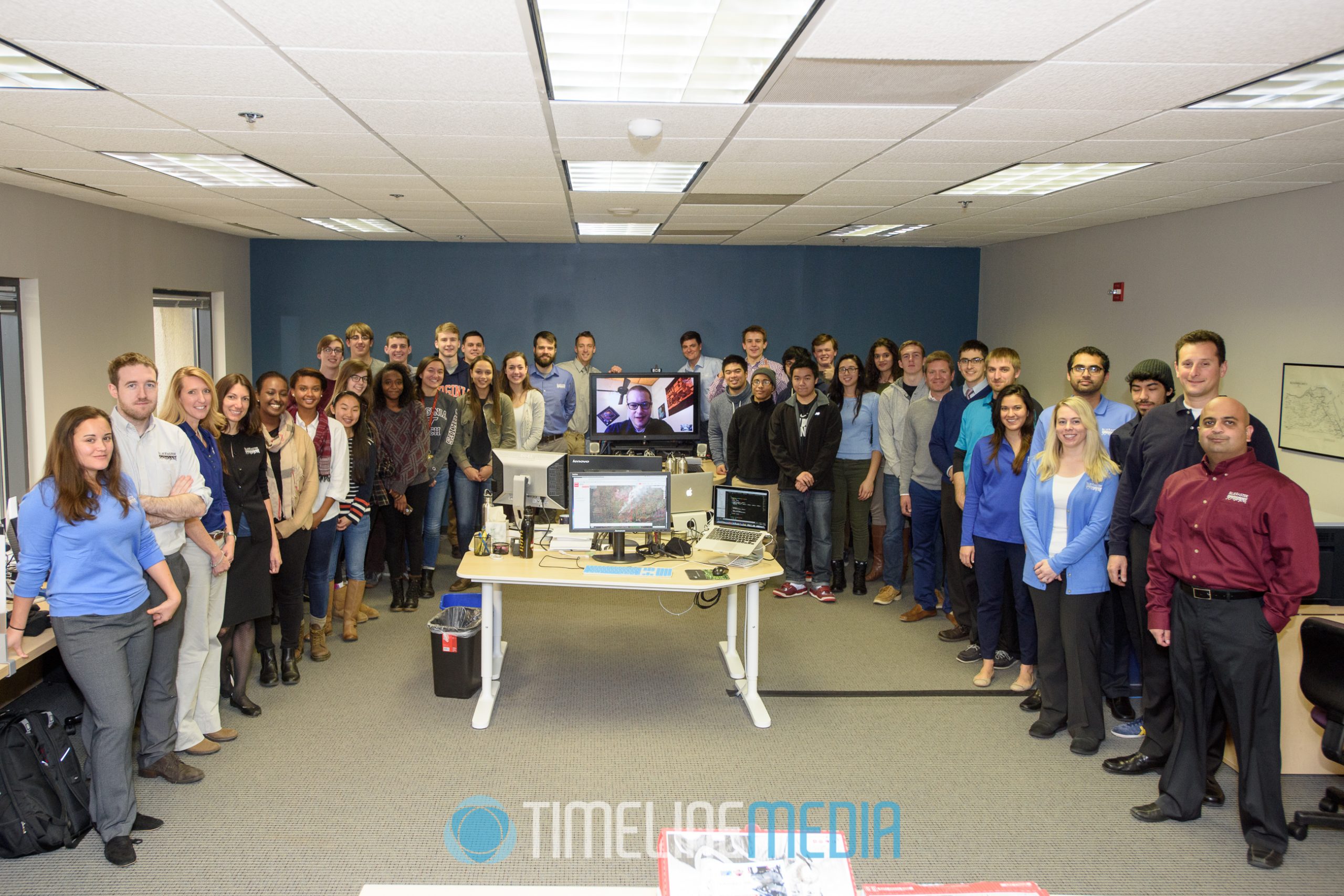
Last year, I covered the GIS Day activities for Blue Raster in Arlington, VA. GIS stands for Geographic Information Systems. Blue Raster is an advanced mapping technology company that uses satellite imaging, and data to help their clients find solutions. They have applications in health, environmental studies, financial impact, and other needs where mapping data can be useful for visualizing and conveying impacts for wider audiences.
Blue Raster GIS Day
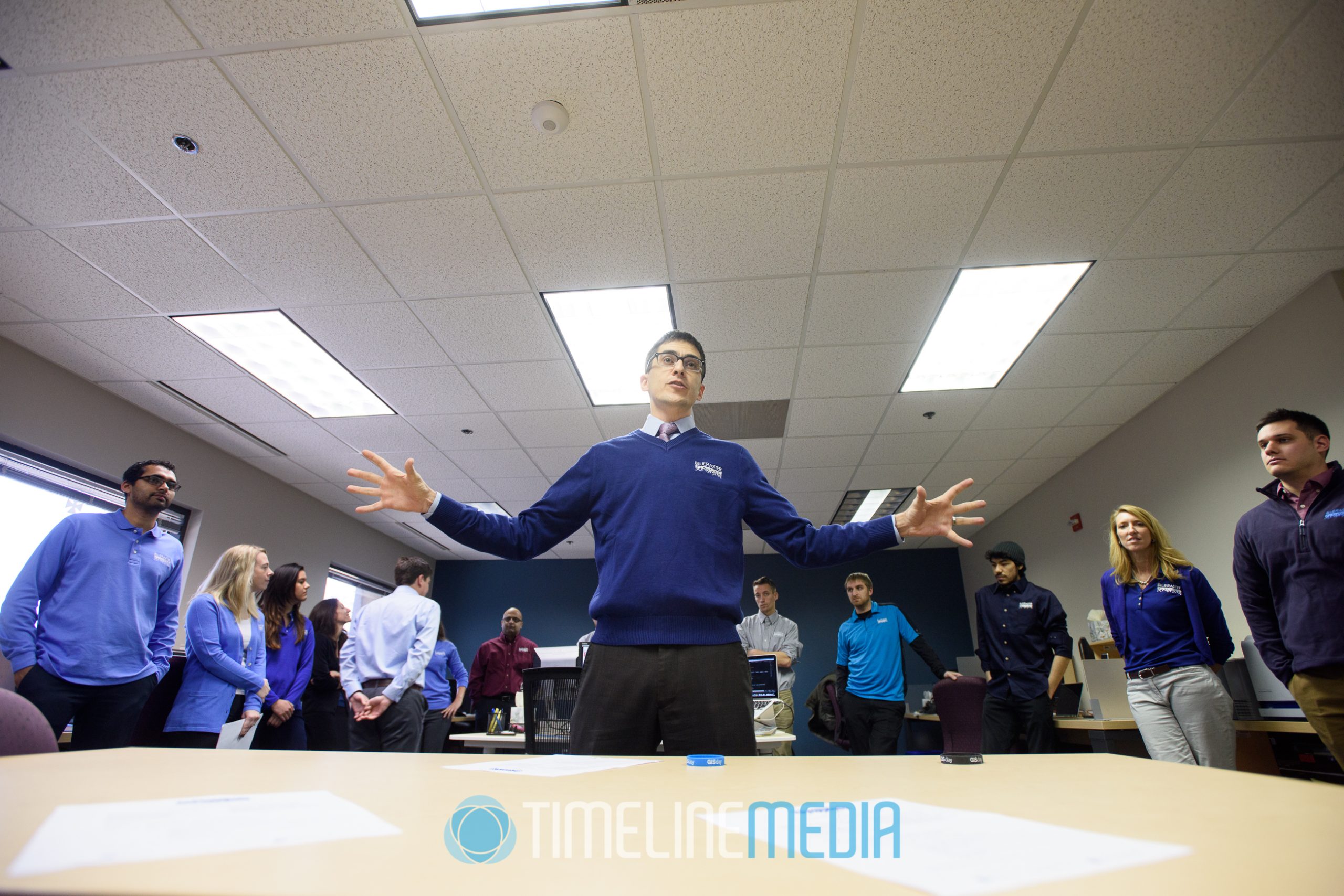
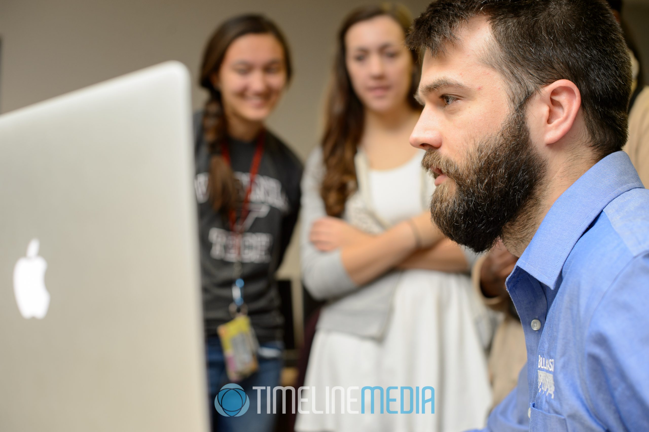
On this day, they brought in a group of enthusiastic high school students that are studying GIS as part of their course work. They were able to talk to the developers and staff at Blue Raster to see how they use the mapping data and make it useful for their clients. While we were there, a presentation at the White House used some of their visualizations for a live address!
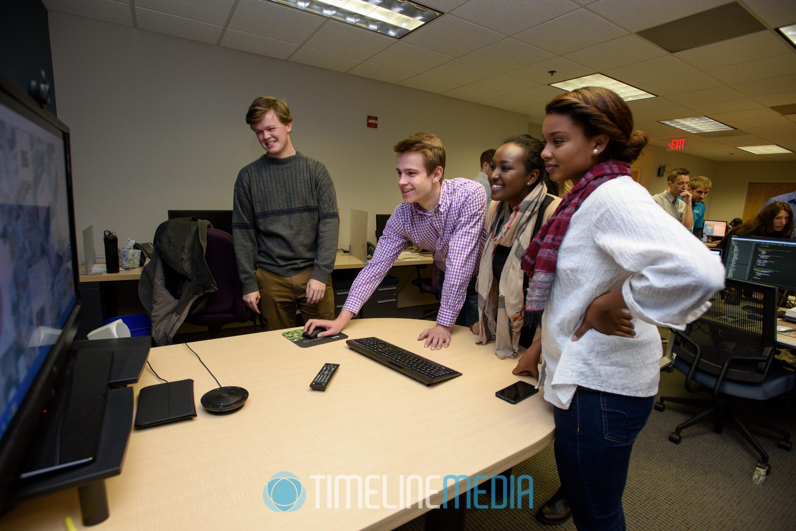
A demonstration of their capabilities was even tried in real time as the students went outside with mobile devices. Outside the offices, they were able to use the Blue Raster software to mark the type of trees in the area. With teams working together, they were able to generate some interesting data very quickly about the vegetation in the area. It was easy to see how this kind of application would be helpful for those wanting to do something similar to study farming, water resourcing, or any other application that would rely on accurate mapped data that could not be found from satellite imaging alone.
Staff Headshots


While I was at their headquarters, I took some time to make some headshots of some of the staff. Luckily, they had some nicely colored blue walls to match with their corporate branding. With some lighting setup it was easy to get a nice consistent look to all of the photos for their website. It would make for a nice cohesive look to their staffing photos.

Thanks to the team at Blue Raster! I really enjoyed learning about the power of GIS data and I received a nice education on how it can be useful for solving larger problems. Viewing maps had been a hobby with mine. My father impressed the importance of reviewing things like maps for trips, and development for new buildings. Since the early internet, satellite imagery starting with the Microsoft Terra Server and onto the newest mapping apps that we have today has been useful not only for my business, but for my own curiosity. What an interesting job the people at Blue Raster have!
TimeLine Media – www.timelinedc.com
703-864-8208