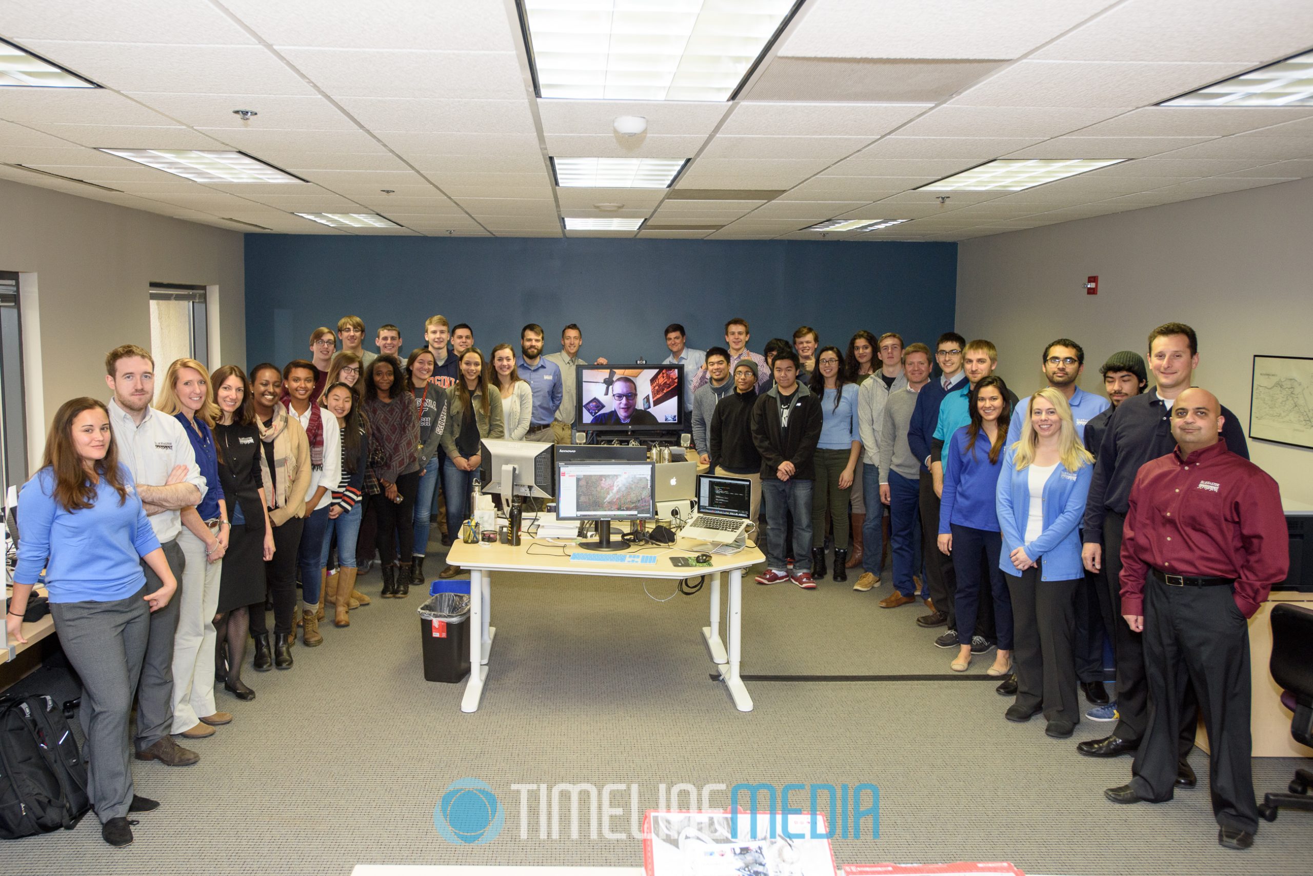
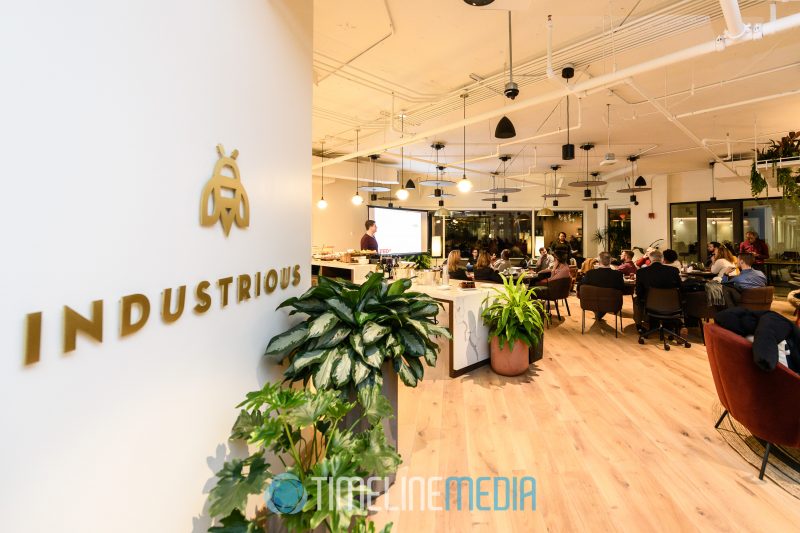
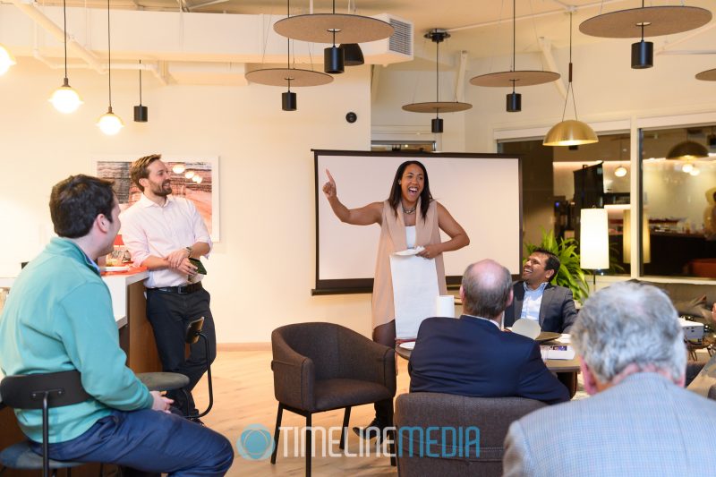
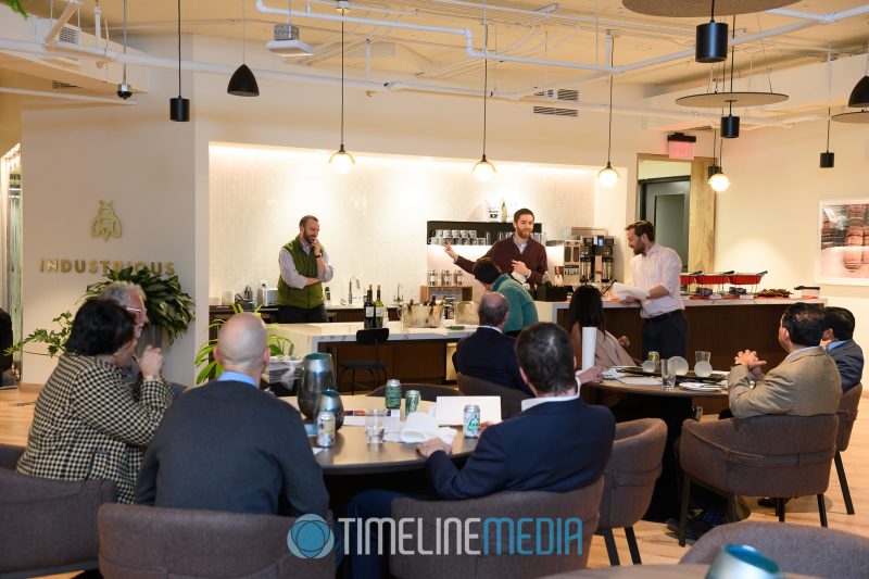
Industrious – Arlington, VA
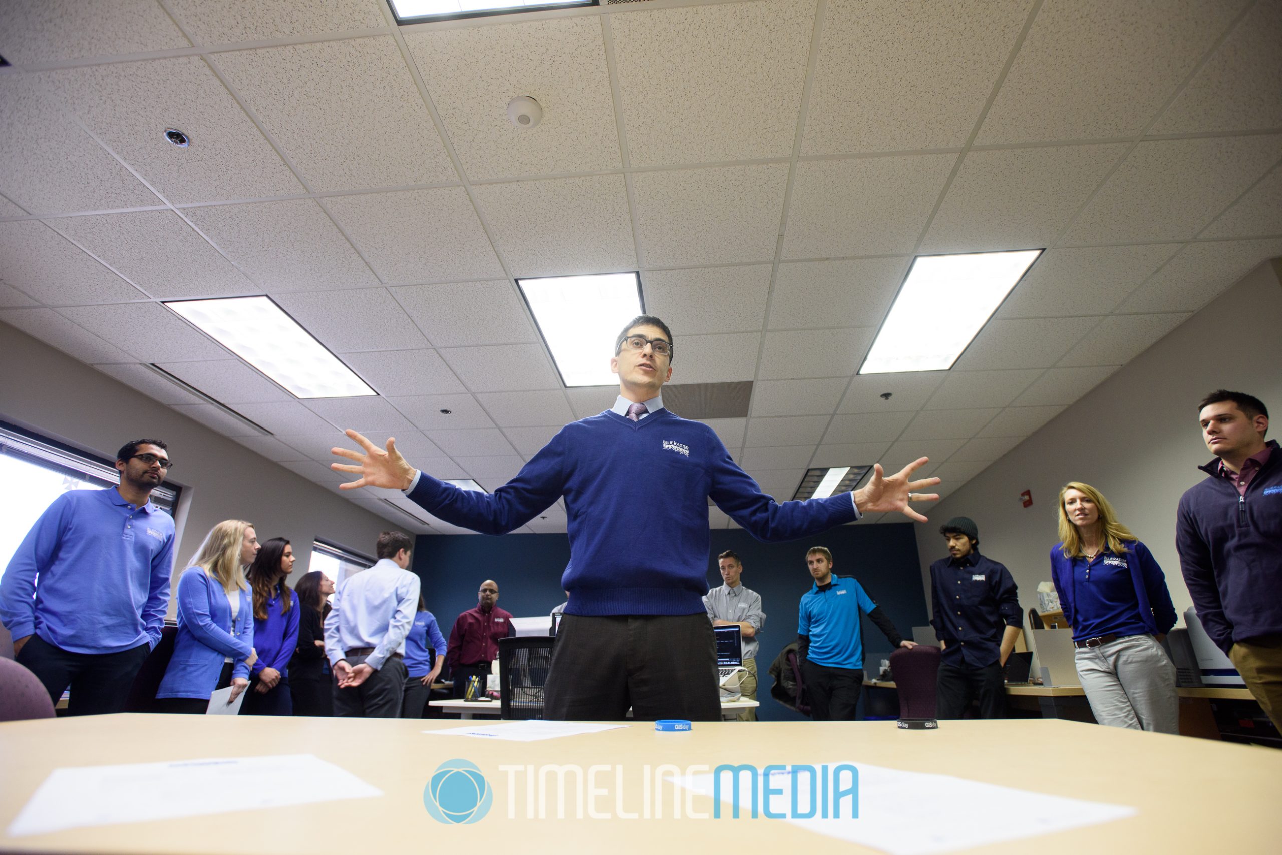
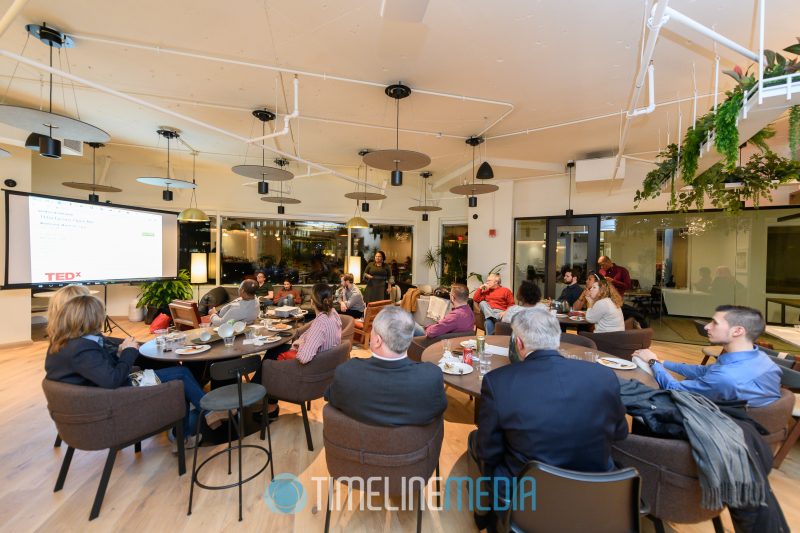
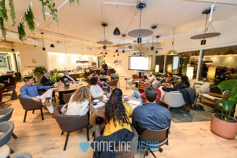
Earlier this month, I reunited with TEDxTysons at a volunteer dinner to plan for another year! Given that they have had 3 years of events with good audience feedback, they will make more in 2019. In addition to finding enthusiastic volunteers and engaging speakers the TEDxTysons team has a talent for finding partners. Of course they have a TED brand to lean on, but they have a way of infecting their partners with their enthusiasm to reach the same goals.
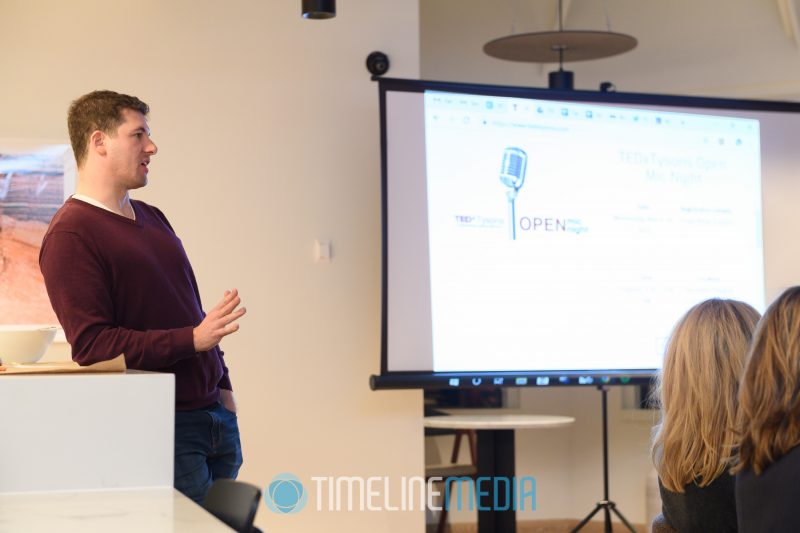
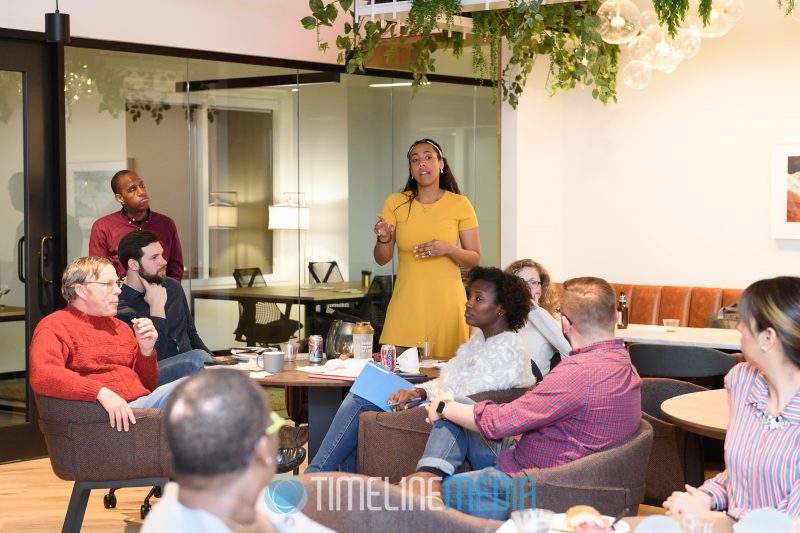
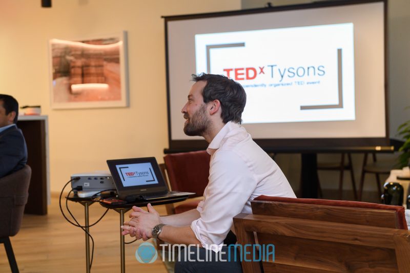
When another TEDx event comes on my schedule, I look back on the previous photos on the blog. Without a doubt, getting involved with them has opened so many doors for me and my photography. Contact tracing the people they have connected me to has already spidered to places I could not have envisioned. Even more, the topics and speakers that I have been able to photograph has expanded my view of what and who is out there. These planning meetings really show the starting block of their efforts. Knowing their track record, I would get tickets for their next events as soon as they are available!
TimeLine Media – www.timelinedc.com
703-864-8208